Lower Rio Grande Study, Colorado Rio Grande Restoration Foundation, Fiscal Agent for the Rio Grande Headwaters Restoration Project 2016
(HRF $20,000)
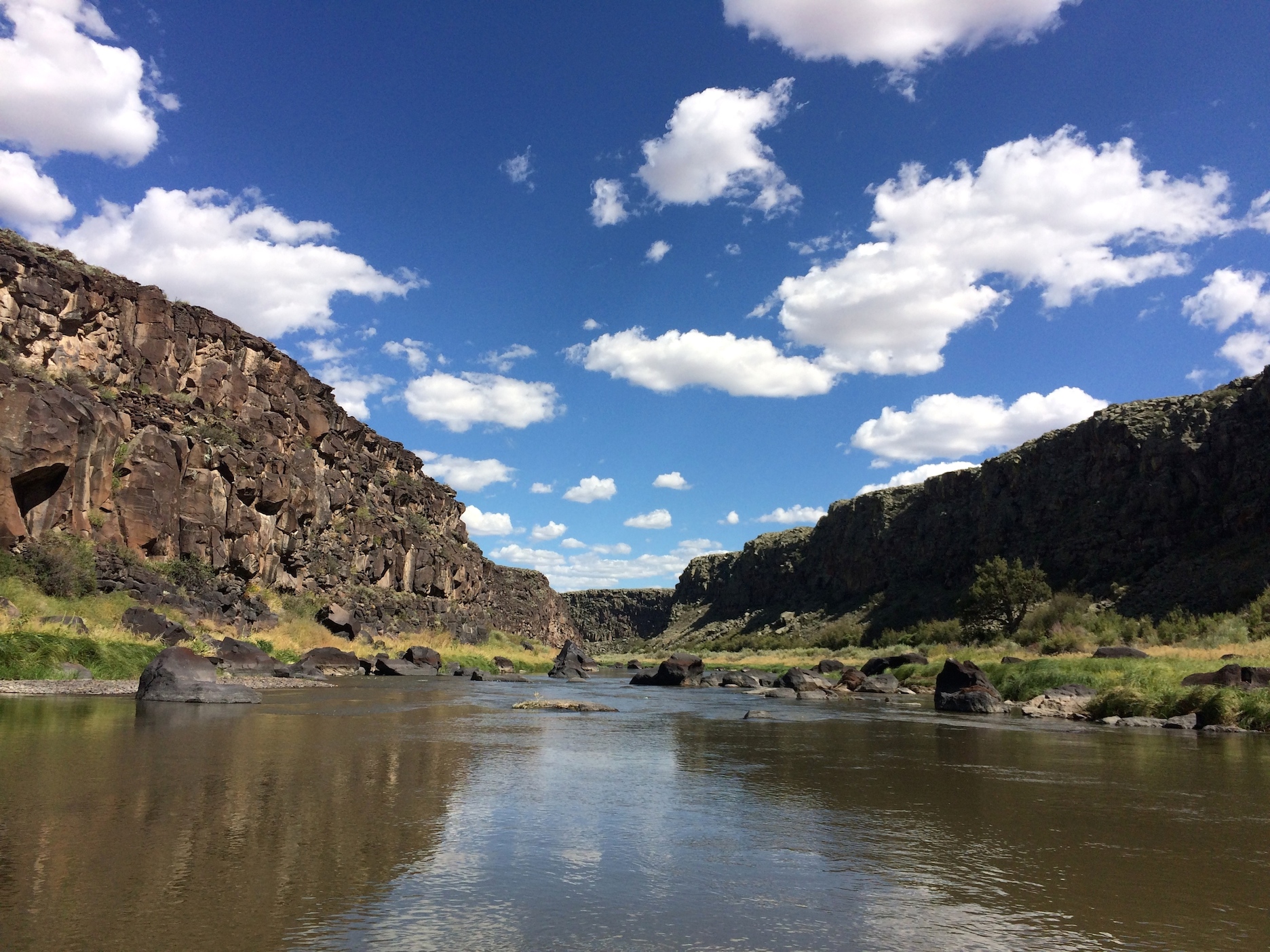
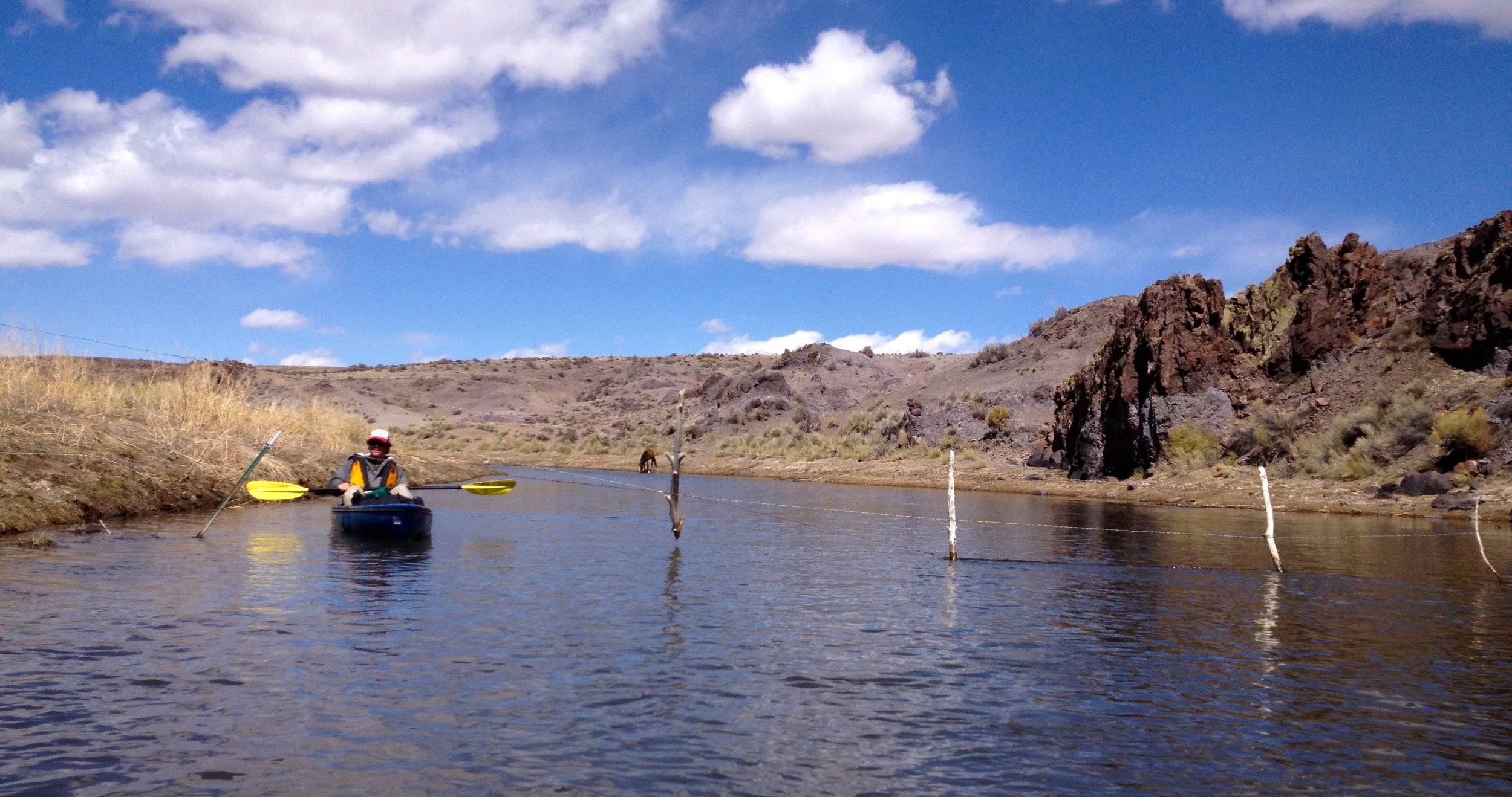
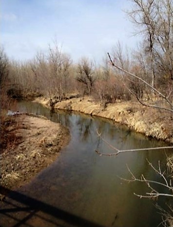
Funded by the Colorado Healthy Rivers Fund, Bureau of Land Management (BLM), and the Sangre de Christo National Heritage Area, the Lower Rio Grande Study analyzed the reach of the Rio Grande between the Alamosa National Wildlife Refuge and the State Line. Designated as the Rio Grande Natural Area (RGNA) by Congress in 2006, this 33-mile reach of the Rio Grande is home to spectacular wildlife, cultural, and historical resources. As part of the RGNA designation, a commission of 9 volunteer stakeholders was assembled to assist private landowners and the BLM in developing a management plan for the RGNA. While some areas of concern were already documented, the entire reach had not been inventoried. The study included outreach to landowners, floating the entire reach, targeted surveying, and recording data on streambank stability, riparian habitat condition, geomorphology, in-stream structures, aquatic habitat, and sediment transport. Of special interest is the area of the RGNA that was recently designated critical habitat for the endangered Southwest Willow Flycatcher. This study resulted in a final report that will aid in developing and prioritizing restoration projects along the study reach.
Completed in 2016, the Lower Rio Grande Study final report was critical to the RGNA planning effort, as it provided in-depth baseline data for the commission. The report also provides a guideline for BLM, RGHRP, and other stakeholders to implement restoration projects in the reach; these projects will further improve the health and continuity of the Rio Grande by complementing work that has been completed upstream by the RGHRP in the 2001 Study reach. The Lower Rio Grande Study Report can be found at: http://www.riverrestoration.com/Lower-Rio-Grande-Assessment-Report-2016.pdf.
The Colorado Healthy Rivers Fund support of $20,000 made the develop of this valuable study possible. Grant dollars were used to leverage funding through, and a partnership with, the Bureau of Land Management. This planning effort was critical for local stakeholders to better understand the condition of the lower Rio Grande in Colorado as well as develop collaborative projects to improve the health of the river. Additionally, these efforts helped lay the groundwork for stream management planning efforts currently underway in the Rio Grande Basin.

Project Budget:
Colorado Healthy Rivers Fund = $20,000
Bureau of Land Management (cash and in-kind) = $25,032
Sangre de Christo National Heritage Area = $5,000
Additional In-kind Contributions = $3,000
Total Project Cost = $53,032

Bear River Reservoir, Photo Credit Upper Yampa Water Conservancy District

Photo Credit Upper Yampa Water Conservancy District
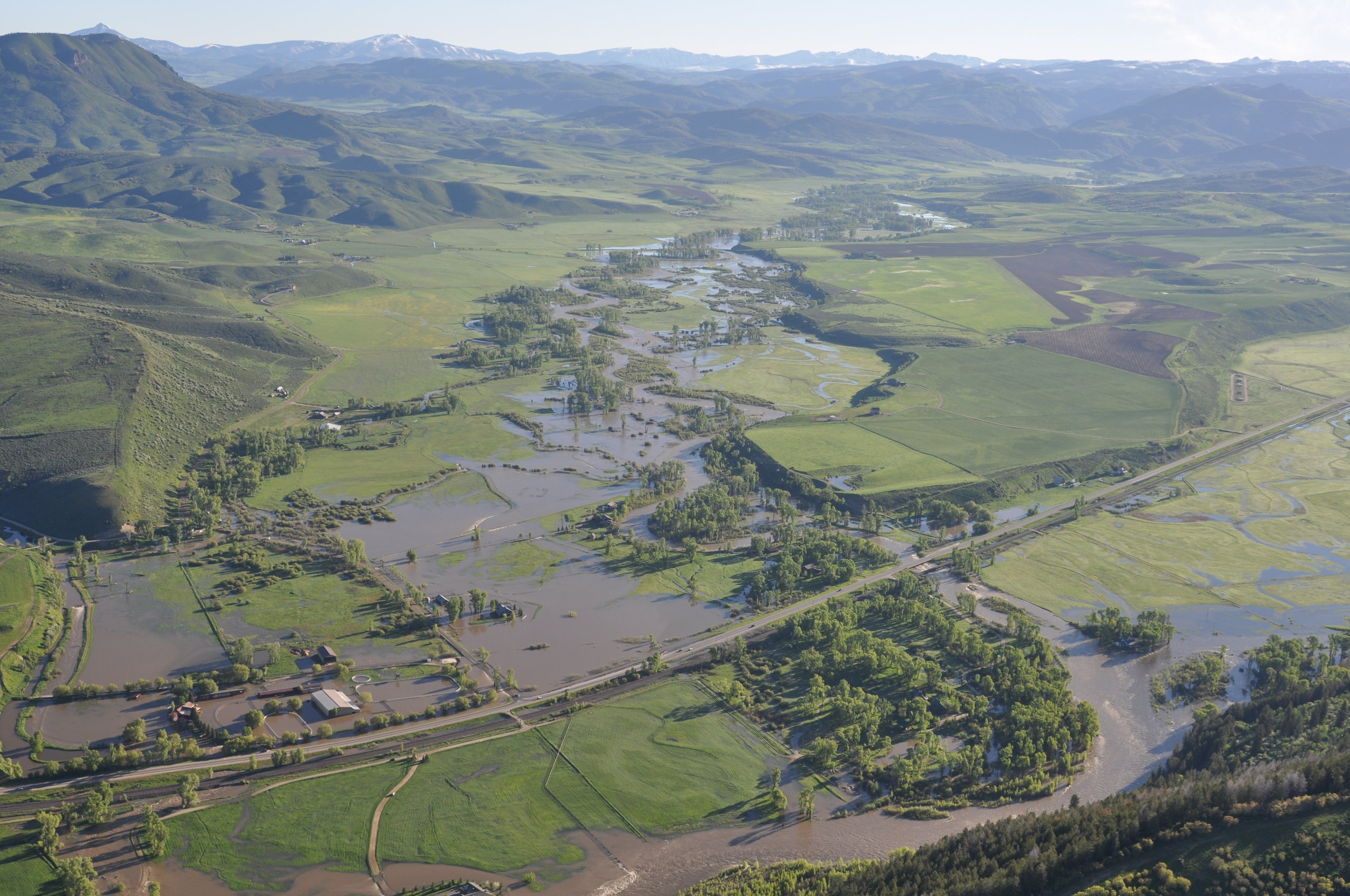
Upper Yampa River State of the Watershed Report
Routt County Conservation District 2013
(HRF $15,000.00)
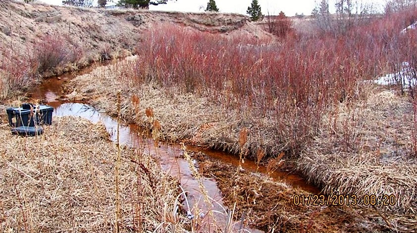
Colorado Healthy Rivers Fund support was used to gather existing water quality data and recorded data gaps to gain a better understanding of trends to inform the Upper Yampa River State of the Watershed Report. The planning team held meetings to speak candidly with water users and land managers about issues impacting water quality and quantity. They also created maps documenting the factors that influence water quality throughout the watershed.
The Upper Yampa River State of the Watershed Report gives the public a general understanding of watershed health in the basin, which may encourage participation in planning and implementation of watershed improvement projects. The report identifies known, emerging and perceived issues, as well as the causes and sources of pollution. This can be used to achieve general water quality health and sets the stage for shared understanding of watershed needs and threats to water quality.
Lower Elk, Photo Credit Upper Yampa Water Conservancy District

Milner, Photo Credit Upper Yampa Water Conservancy District
Chatfield Watershed Authority
Water Quality Monitoring
Plum Creek Project 2012
(HRF $20,000)
Water quality characterization in the Plum Creek watershed and identification of nonpoint source pollutant sources were not well understood. Previous water quality assessments had identified several general categories of nonpoint pollution sources. Pollution categories include agriculture, wildfire burn areas, stream degradation and stream bank erosion, urban and construction runoff, aged Individual Sewage Disposal Systems and groundwater, and natural sources. Water quality monitoring and watershed characterization was needed to facilitate understanding of specific nonpoint source and priority areas to target improvement.
Objectives of the Plum Creek water quality monitoring program were established to characterize water quality in the Plum Creek watershed, identify potential nutrient pollutant sources to reduce pollutant loading to Chatfield Reservoir, and provide data important for watershed and reservoir modeling. Sampling in the Plum Creek watershed commenced in April 2012. Monthly flow, water quality measurements and water samples were collected in the watershed at nine sites. Data from monthly laboratory results were compiled and analyzed. Seasonal changes in quality and flow were evaluated, as well as water quality trends within the watershed, and potential pollutant sources.
Results from this study suggested that the primary nonpoint source water quality problems along Plum Creek are associated with nutrients, sedimentation, and bacteria. Nearly thirty years of inflow data indicated that approximately 70% or more of the inflow to Chatfield Reservoir is from the South Platte River, with the remaining inflow from Plum Creek. While only 30% of the flow comes from Plum Creek, it contributes approximately 80% of the phosphorus load to the reservoir from nonpoint sources. Recommendations based on this analysis included controlling streambank erosion in the Plum Creek watershed to reduce total phosphorus and total suspended solids concentrations and target pollutant sources along East Plum Creek, specifically at the mouth of the creek, near Sedalia.

Location of Nine Plum Creek sampling sites upstream of Chatfield Reservoir